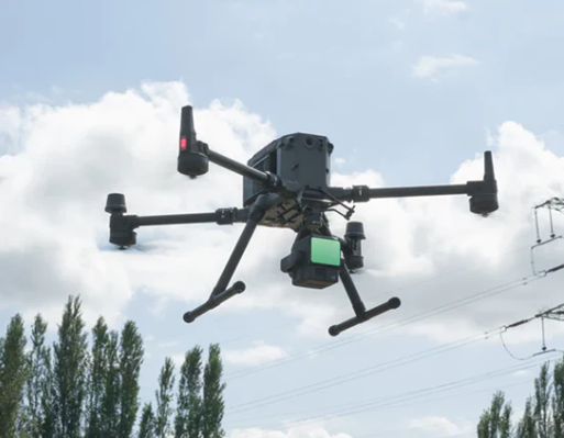
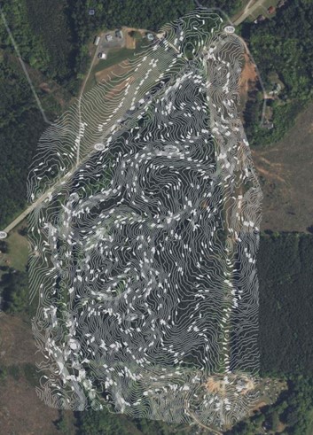
We are so excited our feet are hardly touching the ground these days! As a leading civil engineering and land surveying firm in North Carolina since 1979, we continuously strive to bring you the most advanced and efficient solutions for your projects. Our newly-updated Drone LiDAR technology is state-of-the-art and has revolutionized the way we capture and analyze data, providing unparalleled accuracy and efficiency.
What is Drone LiDAR? LiDAR, which stands for Light Detection and Ranging, is a remote sensing method that uses laser light to measure distances. Our drone-mounted LiDAR systems capture high-resolution, 3D representations of the terrain and structures, offering detailed insights that are critical for various applications.
Key Benefits of Our Drone LiDAR Services:
- High Precision Data: Achieve superior accuracy with detailed 3D maps and models.
- Time Efficiency: Rapid data collection, reducing project timelines.
- Cost-Effective: Minimize costs associated with traditional surveying methods.
- Versatility: Suitable for a wide range of applications, including topographic surveys, infrastructure planning, environmental monitoring, and more.
- Safety: Conduct surveys in challenging or hazardous environments without risking human safety.
Applications:
- Topographic Surveys: Obtain detailed terrain models for site planning and design.
- Infrastructure Development: Support construction and engineering projects with accurate data including quantities and volume reporting.
- Environmental Monitoring: Track changes in vegetation, land use, and natural resources.
- Land Planning: Facilitate planning with precise spatial information.
- Disaster Management: Assess and manage natural disaster impacts with real-time data.
- Job Site Asset and Inventory Management: – Keep track of your heavy civil equipment by viewing assets in their designated production areas.
Our experienced team of professionals provides you with the highest level of service and expertise. We collaborate closely with you to understand your specific needs and deliver customized solutions that meet your project requirements.
Get Started Today! Explore the transformative power of Drone LiDAR technology and elevate your projects to new heights. Contact us today to learn more about our services and how we can assist you in achieving your goals. Stay ahead of the curve with our innovative Drone LiDAR Services. We look forward to partnering with you on your next project!


